Introduction
Mobile mapping systems collect geospatial data from moving vehicles, drones, and portable platforms. Applications include road surveying, 3D city modeling, and infrastructure inspection. Instead of stopping at each feature, a platform records its surroundings as it moves.
GNSS, LiDAR, and an inertial navigation system (INS) commonly work together on such platforms. Environmental measurements are paired with position and motion data to produce geographically referenced point clouds. Signal reception, platform movement, and sensor integration all influence the quality of that result.
How GNSS and LiDAR Work Together
Each sensor contributes different information. GNSS provides a platform’s absolute position in a global reference frame. LiDAR sends laser pulses into the surroundings and measures their returns to capture three-dimensional shapes. INS provides orientation, speed, and continuous motion information as the platform travels.
Geographic coordinates cannot be assigned to LiDAR points until sensor measurements are connected. Time synchronization matches each LiDAR measurement with platform position and orientation at its capture time. Measured or calibrated sensor positions and orientations then allow points to be transformed from the scanner’s coordinate frame into a geographic reference frame.
GNSS and INS data are fused to estimate a continuous platform trajectory. Position and orientation along that trajectory locate successive LiDAR measurements. Together, time synchronization, coordinate transformation, and data fusion turn scans collected in motion into a geographically referenced point cloud.
Key Challenges in Mobile Mapping
Survey conditions can change within a single route. A platform may move from an open road into a street lined with buildings or trees, affecting both positioning and LiDAR data alignment.
Tall buildings and trees can obstruct GNSS signals and reduce the number of satellites available for positioning. In urban areas, signals may reflect off buildings before reaching the antenna, introducing multipath errors into GNSS measurements. When GNSS reception is briefly interrupted, INS plays a larger role in estimating motion. Estimation errors can accumulate until satellite observations return.
Vehicle movement creates another challenge. Acceleration, turns, and uneven ground change platform position and orientation throughout a scan. Each LiDAR measurement must therefore be matched with position and orientation at the correct time.
Accurate sensor synchronization and mounting calibration are also necessary. A timing mismatch or an error in relative sensor positions or orientations can place scanned points incorrectly. Reliable results require attention to signal reception, motion estimation, synchronization, and calibration.
Why GNSS Antenna Performance Matters
A GNSS antenna receives satellite signals used to determine platform position. Signal quality affects observations available for GNSS/INS positioning. Because the resulting trajectory georeferences LiDAR measurements, antenna reception can influence point cloud positioning.
Satellite visibility changes along a survey route. Multi-frequency and multi-constellation reception lets a compatible receiver use signals from different frequency bands and satellite systems. Low-elevation reception may help track satellites still visible when part of the sky is obstructed. Such signals can also be more affected by blockage and reflections, so quality matters alongside availability.
Multipath mitigation helps limit the effects of signals reflected by buildings and other surfaces. Phase center stability helps keep precise GNSS measurements consistent by limiting variation in the antenna’s effective reception point. Both characteristics matter as a platform moves through changing environments.
Vehicle-mounted systems also need secure mounting and reliable connections during movement and vibration. Antenna selection should account for installation conditions as well as reception characteristics. Point cloud quality also depends on the receiver, sensor synchronization, installation calibration, and data processing.
Harxon GNSS Antenna Solutions for Mobile Mapping
Antenna requirements vary across drones, vehicles, backpacks, and handheld devices. Space, weight, mounting, and receiver specifications all affect product selection. Harxon offers antenna options for UAV, vehicle-mounted, backpack, and handheld SLAM systems.
UAV Mobile Mapping
UAV payload and installation limits shape antenna selection.
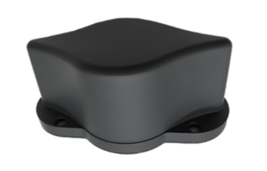
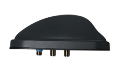
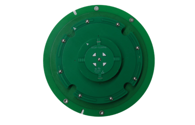
The HX-CHX600A receives signals from multiple satellite systems and supports L-Band signals. Specified weight is up to 45 g. Harxon also highlights phase center design as a feature supporting stable positioning performance.
The HX-CH7609A supports multi-constellation and L-Band reception. Specified weight is up to 30.5 g, with screws used for bottom mounting.
Available space, payload allowance, mounting position, and GNSS receiver requirements help determine which model suits a UAV design.
Vehicle-Mounted and Backpack Mobile Mapping
Vehicle-mounted and backpack systems have different installation constraints. Both need an antenna with a suitable mounting position and a connection to the GNSS receiver.

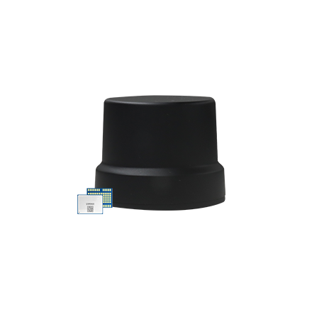
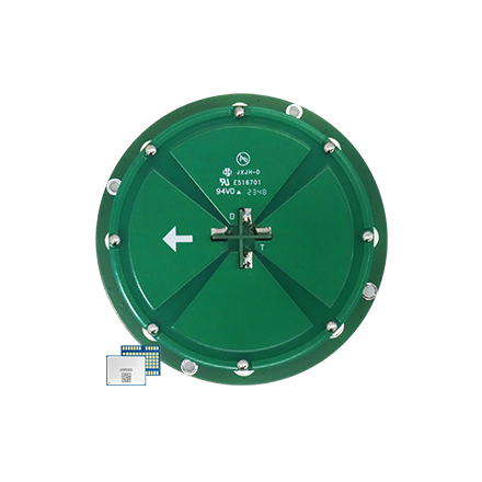
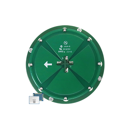
The HX-CSX601A is a survey GNSS antenna designed to receive low-elevation satellite signals. It measures 173.4 mm in diameter and has a TNC female connector. Phase center stability is another consideration for precise GNSS measurements.
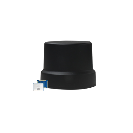
The GPS1000 is also a survey GNSS antenna. Phase center stability and multipath suppression support consistent GNSS measurements in changing survey environments. It measures 152 mm in diameter and has a TNC female connector.
Vehicle installation calls for attention to movement and vibration. Backpack integration also depends on mounting space and equipment carried by the operator. Connector type and supported signals must be checked against receiver and system requirements in either case.
Handheld SLAM Mobile Mapping
Limited space makes antenna integration an important consideration in handheld SLAM devices.
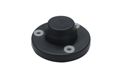
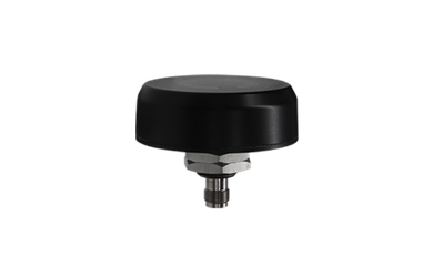
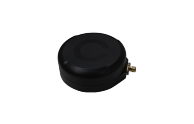
The HX-CUX615A combines a low-profile housed design with multi-constellation GNSS reception. Product information also highlights phase center stability and multipath mitigation.
The HX-CUX005A uses a compact embedded design and integrates GNSS with 2.4/5.8 GHz Wi-Fi and Bluetooth antennas. This arrangement may help when positioning and wireless communication antennas must fit within a compact device.
Available space, antenna placement, and wireless communication requirements guide selection between these options.
Conclusion
GNSS, LiDAR, and INS contribute position, three-dimensional measurements, and continuous motion information to mobile mapping. Time synchronization, coordinate transformation, and data fusion connect those inputs to produce a geographically referenced point cloud.
Obstruction, multipath, platform motion, and sensor alignment can affect positioning along the way. A GNSS antenna suited to its platform and operating environment provides the signal input needed for GNSS/INS processing. Receiver performance, calibration, and data processing remain important to the final mapping result.
Discuss Your Mobile Mapping Antenna Requirements
Developing a UAV, vehicle-mounted, backpack, or handheld SLAM mapping system? Contact Harxon with receiver specifications, mounting requirements, and operating conditions to discuss suitable GNSS antennas.
FAQ
Can LiDAR create a geographically referenced point cloud without GNSS?
LiDAR can create a point cloud in a local coordinate frame without GNSS. Geographic referencing requires another source of position information or known reference points. GNSS commonly supplies that global position reference in mobile mapping systems.
What happens when GNSS signals are briefly blocked?
INS continues estimating platform motion during a short GNSS interruption. Estimation errors can accumulate while satellite observations are unavailable. Trajectory and point cloud processing must account for that interruption.
Can the same GNSS antenna be used on different mobile mapping platforms?
Possibly, if signal support, size, weight, mounting, and connections meet each platform’s requirements. UAVs, vehicles, backpacks, and handheld devices impose different integration constraints, so antenna suitability must be assessed for each system.