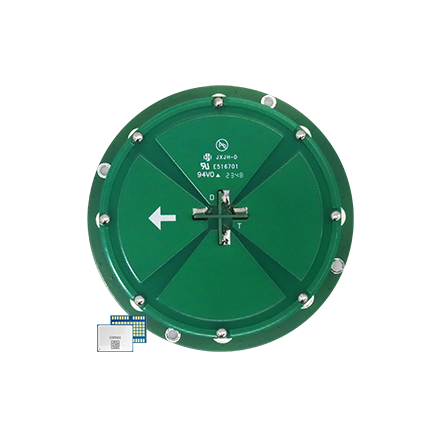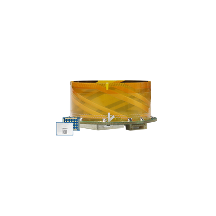
RTK GNSS helps a boundary-wire-free robotic mower relate its position to a digital map for virtual boundaries and planned coverage paths. The rover combines its own satellite observations with corrections from a local base station or a Network RTK service; vision or LiDAR may provide complementary information when satellite reception is degraded.
That position estimate is an input to the navigation stack, not a substitute for mapping, obstacle detection, motion control, or safety logic. An RTK solution also depends on suitable satellite observations, usable correction data, and an initialized solution.
For an OEM, the main architecture decision is how correction data reaches the mower. A local base station sends corrections from the property, while a Network RTK service can deliver them over an internet connection. Both approaches still require a compatible rover receiver, a well-integrated GNSS antenna, and system-level validation.
Why Robotic Lawn Mowers Need High-Precision RTK Positioning
A virtual boundary is only useful when the mower can relate its current position to the stored boundary with sufficient consistency. The same applies to lane-based mowing, narrow passages, return-to-charge routes, and transitions between mapped zones. If the estimated position shifts, the navigation system may also shift the mower's apparent relationship to those digital features.
RTK improves the positioning input by using carrier-phase measurements from a base receiver and the rover. The base observes satellites from a known location and provides data that helps the rover estimate its position more precisely. This is the core difference between standalone GNSS positioning and an RTK solution: the rover is using correction information as well as its own satellite observations.
For robotic lawn mower development, RTK can therefore support three closely connected tasks:
- placing the mower within a digital map and virtual boundary;
- following planned paths with repeatable positioning; and
- supplying a precise global reference for the wider navigation stack.
The distinction between positioning and navigation matters. RTK reports where the mower is. The complete product must still decide where it may travel, recognize obstacles and drop-offs, control its motion, and define safe behavior when positioning confidence falls.
Local Base Station RTK Solution
A local RTK deployment uses a base station and a rover. The fixed base receiver observes GNSS signals at a known location, generates correction data, and sends that data through a compatible radio or network link. The rover receiver on the mower combines the corrections with its own observations to calculate a more precise position.
The correction path can be summarized as:
GNSS satellites → local reference antenna and receiver → correction generation and data link → mower rover receiver → navigation system
This architecture gives the system owner direct control over the reference equipment at the site. It also creates site-level engineering requirements. The base and rover need adequate satellite visibility, the correction link must cover the operating area, and the complete system must define what happens if satellite observations or correction delivery become unavailable.
For the reference antenna layer, browse the Survey GNSS antenna category. HX-CSX601A and HX-CSX600A are antenna candidates whose published applications include survey base stations. Each is an antenna rather than a complete RTK base station. A working base still requires a compatible reference receiver, correction generation, a data link, power, an enclosure, and system configuration.
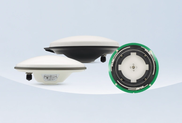
Survey GNSS antennas for local RTK base station architecture
Network RTK / NRTK Solution
Network RTK changes the source and delivery path of the corrections. Instead of installing a separate reference station at every property, the mower connects through an internet data link to a correction service supported by a regional reference-station network. NTRIP is one common way to deliver real-time GNSS correction streams over the internet.
The resulting path is:
GNSS reference network / correction service → internet and cellular data path → mower modem and rover receiver → navigation system
Removing the property-level base station can simplify physical deployment, but it does not remove infrastructure dependencies. The OEM still needs to confirm service coverage, subscription and access conditions, correction format, receiver support, cellular availability, latency tolerance, and fallback behavior. For US deployments, “CORS” should not be treated as a promise of a free real-time stream: NOAA's National CORS Network supports static post-processing, while real-time RTK or RTN streams may come from state, research, or commercial providers.
Local Base and Network RTK at a Glance
| Design factor | Local Base Station RTK | Network RTK / NRTK |
|---|---|---|
| Correction source | A reference receiver at the property | A regional reference network and correction service |
| Correction path | Site base → compatible local radio or network link → mower rover | Correction service → internet / cellular link → mower rover |
| Separate base at the mowing site | Yes | Not usually; the mower still depends on the service's reference network |
| Main dependencies | Base placement and satellite visibility, correction-link reach, compatible receiver and format | Service coverage and access, internet / cellular connectivity, compatible receiver and format |
| Key design question | Can the site support and maintain the reference equipment and correction link? | Is an appropriate service and reliable data connection available across the operating area? |
Both architectures require a compatible rover, correction format, antenna installation, and a defined response to loss of corrections. The table compares correction delivery choices; it does not establish compatibility for a particular mower platform.
Rover-Side Antenna Options for an NRTK Architecture
The correction source and the rover hardware form are separate design choices. Browse the broader high-precision GNSS antenna range to compare antenna form factors. The following product groups show different levels of antenna and module integration; they do not by themselves confirm compatibility with a particular receiver, modem, service, or mower platform.
| Product group | Candidate products | Role in the mower architecture |
|---|---|---|
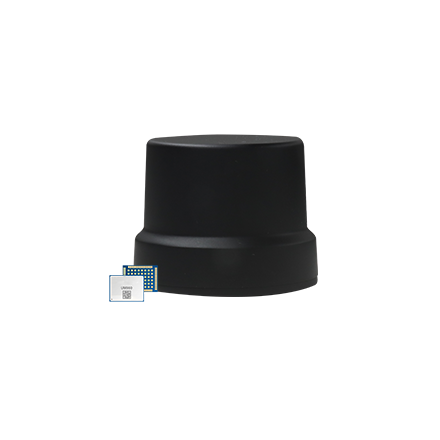
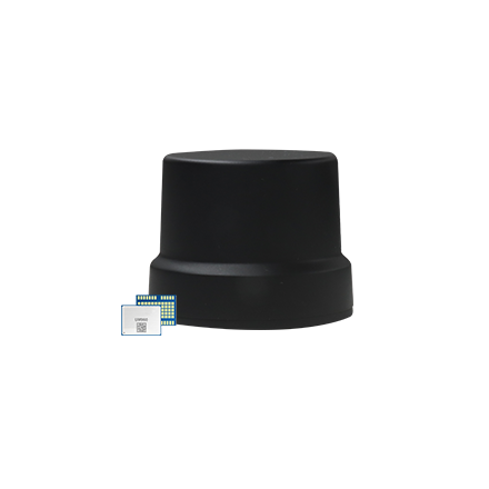
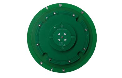
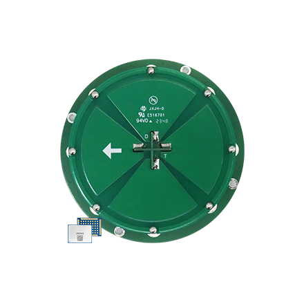
| Embedded GNSS antennas | HX-SE406A; HX-CSX231A Full-Band | Rover-side GNSS antennas for use with a compatible RTK receiver and a separate correction-data path. |
| Multi-function antennas | HX-SE402A; HX-SE410A | Integrated antenna forms. The first combines GNSS with an 868 MHz radio antenna; the second combines GNSS with Wi-Fi and dual 4G antennas. |
| Smart antennas (Smart Antenna for UAV/Robot category) | HX-ME401A; HX-ME407A | Higher-integration options. The first incorporates a UM960 RTK module; the second combines GNSS and an RTK module with 4G, LoRa, and MCU components. |
The published 868 MHz radio element in the multi-function group is not a cellular NRTK connection. A US project must verify the regional radio configuration and provide a compatible cellular/IP or other correction-data path where the NRTK architecture requires one. Likewise, integrating 4G antenna elements does not mean that a product automatically includes a modem, correction subscription, or receiver-service compatibility.
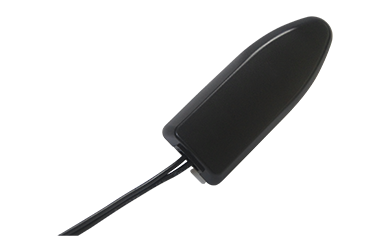
High-precision GNSS antennas for Network RTK rover integration
RTK and Multi-Sensor Fusion
RTK performance depends on the signals and correction data available to the rover. Trees, buildings, walls, and other nearby structures can reduce satellite visibility or introduce reflected signals. A local radio link or cellular connection can also be interrupted. These conditions make positioning continuity a system-level problem rather than an antenna-only problem.
Robotic mower manufacturers may combine RTK with cameras, LiDAR, inertial sensors, or wheel odometry. In such a design, RTK supplies a global position reference, while other sensors can contribute information about local motion, features, or obstacles. The exact behavior during degraded GNSS conditions depends on the fusion algorithm, sensor placement, environmental conditions, and the product's validation results. Sensor fusion should therefore be described as a complementary architecture, not as a blanket guarantee of unchanged precision under obstruction.
Example: passing a tree line or building edge. As the mower moves from open sky into partial obstruction, blocked or reflected satellite signals may weaken the RTK solution. Vision, LiDAR, or odometry may contribute local motion or environmental cues, but whether they maintain useful navigation depends on sensor visibility and the platform's fusion design. The transition needs to be evaluated on the assembled mower.
Compact Antennas and RF Coexistence
A mower's GNSS antenna shares a compact enclosure with communications radios, processors, power electronics, motor controls, cameras, and sometimes LiDAR. The GNSS antenna solutions for robots include compact OEM antennas described for space-constrained robotic designs, multi-function antennas that combine GNSS with radio or Wi-Fi/4G antenna elements, and integrated products that add RTK processing and communications components. These form factors give OEMs options for fitting GNSS into limited enclosure space and choosing how much connectivity or processing to integrate in the antenna assembly.
Compact packaging and reliable reception need to be designed together. GNSS signals arrive at very low power, so emissions from a nearby transmitter or digital circuit can desensitize the receiver. In a mower, separate GNSS and transmitting antennas as much as the enclosure allows, shield high-speed digital logic, and route GNSS coax away from radio sections and high-current power paths. Include motor-control switching and drive power electronics in the platform-level interference review; their effect depends on the actual implementation.
Use this RF integration checklist during the mower layout review:
- Plan the GNSS antenna position and ground plane early, using the selected antenna and receiver's integration guidance.
- Allow as much separation from transmitting antennas as the enclosure permits.
- Shield high-speed digital logic and keep GNSS coax away from radio sections and high-current or switching-power paths.
- Review filtering, grounding, cable routing, and power-supply noise together rather than as isolated fixes.
- Evaluate GNSS reception with the mower's radios, processor, and motor drive operating in representative combinations.
These are design directions, not a product-level RF immunity claim. Follow the selected receiver and antenna's integration guidance for placement, grounding, shielding, filtering, and cable routing, then verify the assembled mower.
For broader antenna form-factor selection, see the robotics smart antenna selection guide.
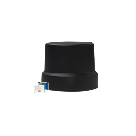
Smart antennas for UAV and robot system integration
Building the Complete Positioning Chain
RTK enables precise robotic lawn mower navigation when every part of the positioning chain works together: satellite reception, correction generation or service access, correction delivery, the rover receiver, antenna integration, and the navigation software that consumes the position solution.
A local base station provides an on-site reference under the system owner's control. Network RTK removes the need for a separate base at each property but adds service and connectivity dependencies. Multi-sensor fusion can supplement RTK when the wider navigation design and validation support it. In either architecture, antenna selection should follow the receiver, data-link, regional-frequency, enclosure, and RF-layout requirements of the actual mower platform.
Common OEM Questions
Does a robotic mower need a local base station to use RTK?
No. A compatible Network RTK service can deliver corrections over an internet or cellular connection without a separate base at each property. The service must cover the operating area, and the receiver, correction format, and data link must be supported.
Can RTK maintain positioning under trees or beside buildings?
Not in every condition. Obstructions and reflected signals can reduce GNSS availability or degrade the position solution. Other sensors may complement RTK in a validated fusion design, but their performance depends on the platform and environment.
Does a 4G or Wi-Fi antenna make a mower ready for Network RTK?
No. An antenna element does not by itself provide a modem, correction service, receiver support, or compatible data protocol. Those parts must work together in the target mower.
For a broader view of company information and product families, visit the Harxon GNSS antenna homepage.
To discuss an antenna configuration for a robotic lawn mower project, contact Harxon with the target market, RTK receiver or module, correction source, data link, available installation space, and RF layout constraints.