From autonomous navigation systems and precision agriculture to land surveying and industrial automation, the reliability of Global Navigation Satellite System (GNSS) data directly affects operational efficiency, safety, and business outcomes. Yet, achieving consistently high positioning accuracy remains a challenge. Signal interference, atmospheric disturbances, poor hardware selection, and improper system configuration can all introduce errors that significantly reduce performance.
Improving GNSS accuracy is rarely about solving one single issue. In most cases, it requires a combination of high-quality hardware, proper software configuration, correction technologies, and good field deployment practices. Understanding how these factors interact is key to achieving more stable and precise positioning results.
Why GNSS Accuracy Matters More Than Ever
In the past, a few meters of positioning error might have been acceptable for basic navigation applications. Today, modern industries increasingly rely on high-precision positioning where even small inaccuracies can create costly consequences.
Autonomous vehicles are a clear example. Even minor positioning drift can cause a vehicle to deviate from its planned route, affecting passenger safety and reducing the reliability of intelligent mobility systems. As self-driving technology continues to evolve, centimeter-level positioning accuracy is becoming increasingly important for lane-level navigation and obstacle avoidance.
In precision agriculture, inaccurate GNSS positioning often leads to overlap during automated steering operations. When tractors repeatedly cover the same planting or spraying area, farms consume unnecessary amounts of seed, fertilizer, and fuel, reducing overall productivity. Over time, these small positioning errors directly affect operational costs and crop yields.
The impact is equally significant in UAV operations. Drones used for mapping, environmental monitoring, and industrial inspections rely heavily on accurate positioning data to generate reliable geographic information. Poor GNSS accuracy can distort mapping results and reduce the quality of collected data, creating challenges for downstream analysis.
As industries continue moving toward automation and intelligent systems, GNSS accuracy is no longer simply a technical specification. It has become a critical factor that directly influences efficiency, safety, and long-term operational success.
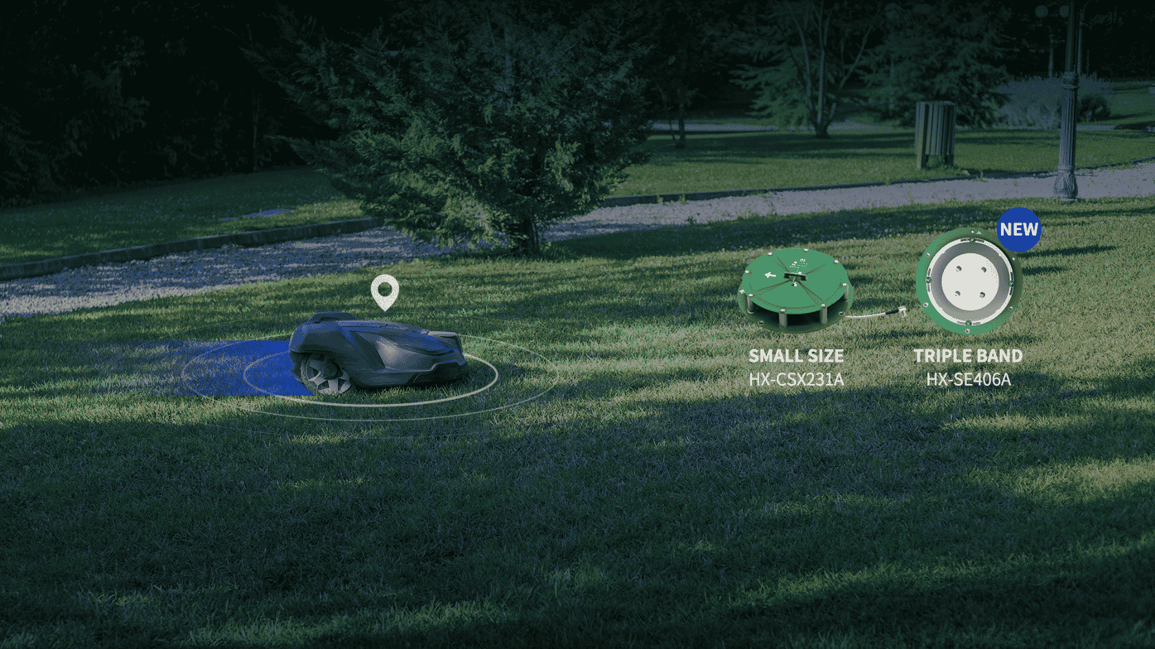
Hardware Optimization & Correct Antenna Selection Can Improve GNSS Accuracy
Hardware Optimization
Improving positioning accuracy begins with the physical components that receive satellite signals. Even the most advanced correction technologies cannot fully compensate for poor hardware quality.
The quality of both the GNSS receiver and antenna plays a major role in determining how reliably a system can track satellites and maintain stable positioning performance. Professional-grade hardware is typically designed with stronger signal processing capabilities, better multipath suppression, and improved long-term stability under demanding operating conditions.
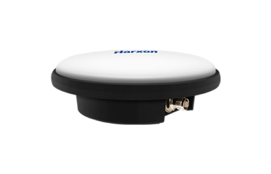
Working with specialized manufacturers such as Harxon can help ensure access to GNSS antenna solutions designed for high-precision applications across industries, including surveying, agriculture, unmanned systems, and autonomous navigation.
Antenna Selection
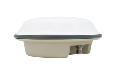
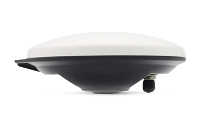
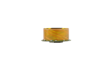
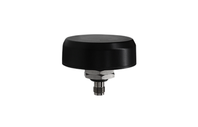
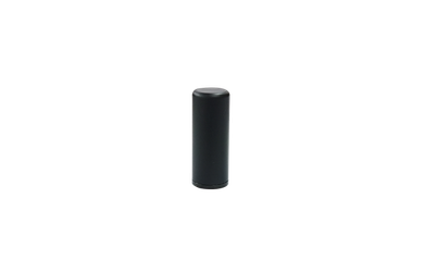
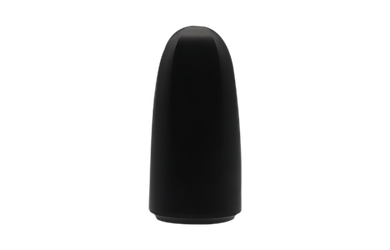
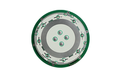
Different operating environments require different antenna designs, and selecting the wrong type often becomes a hidden source of positioning errors. The table below summarizes the antenna selection guidelines, including applications, antenna types and the reasons each is best.
Industries |
Antenna Types |
Features |
| Surveying and construction | Ruggedized survey antennas | They provide highly stable phase center performance and maintain millimeter-level measurement consistency |
| UAV platforms and robotic systems | Helix antennas (lightweight) | They offer reliable circular polarization while maintaining stable satellite-tracking performance. |
| Agricultural automation and intelligent vehicle systems | Specialized antenna configurations | They support optimizing for machine guidance, automated steering, and connected-vehicle platforms. |
Dual-frequency support has also become increasingly important for high-precision positioning. By receiving signals on multiple frequency bands, GNSS systems can more effectively compensate for atmospheric delays that often introduce positioning errors. When combined with proper RF design, optimized antenna matching, and precise antenna calibration, dual-frequency systems can significantly improve overall accuracy while maintaining stable centimeter-level performance.
Software Configuration and System Tuning
Even with high-quality hardware in place, software configuration has a major influence on positioning performance. Small configuration adjustments often create measurable improvements in signal quality and system stability.
Enable multi-constellation support
Modern GNSS receivers are capable of simultaneously accessing multiple satellite systems, including the Global Positioning System GPS, GLONASS, Galileo, and the BeiDou Navigation Satellite System BeiDou. Tracking multiple constellations increases the number of available satellites visible to the receiver at any given time. This improves satellite geometry, reduces positioning uncertainty, and lowers Position Dilution of Precision (PDOP), particularly in environments with partial sky obstruction.
Set elevation mask angle
GNSS receivers often use a default setting of approximately five degrees, allowing signals from satellites positioned close to the horizon. While this increases satellite availability, lower-elevation satellites are more vulnerable to atmospheric interference and signal degradation. Increasing the elevation mask angle to approximately ten degrees often improves positioning quality by filtering out weaker signals that contribute more noise than useful positioning data.
Careful tuning of system parameters allows GNSS receivers to prioritize signal quality rather than simply maximizing the number of satellites, resulting in more stable positioning performance over time.
Advanced Correction and Augmentation Technologies
Correction technologies provide an additional layer of accuracy by compensating for errors introduced during signal transmission.
Real-Time Kinematic Positioning
RTK is one of the most widely used correction methods for centimeter-level accuracy. RTK systems rely on a stationary base station that continuously calculates positioning errors and transmits correction data to a moving receiver, often referred to as a rover. By correcting atmospheric disturbances, satellite timing errors, and certain multipath effects in real time, RTK allows systems to achieve highly accurate positioning even during dynamic movement.
Post-Processed Kinematic
PPK follows a similar principle to RTK but applies corrections after field data collection is complete. Surveying professionals often prefer PPK when stable real-time correction links are unavailable during field operations.
Others
Satellite-Based Augmentation Systems also provide useful correction capabilities for applications that require improved accuracy but do not necessarily need centimeter-level precision. Systems such as Wide Area Augmentation System WAAS and European Geostationary Navigation Overlay Service EGNOS reduce ionospheric errors and help improve positioning accuracy to sub-meter levels in many applications.
Field Best Practices and Environmental Considerations
In high-precision GNSS applications, field deployment discipline often becomes just as important as hardware quality. You must consider below 4 ways.
Environmental conditions remain one of the largest contributors to positioning inconsistency.
Satellite geometry should always be monitored during operation. PDOP is commonly used as an indicator of the quality of satellite distribution. Lower PDOP values generally indicate better satellite positioning geometry, while higher values increase uncertainty. In most high-precision applications, maintaining PDOP values below four provides more reliable positioning performance.
Multipath interference is another major factor that often reduces accuracy.
This occurs when GNSS signals bounce off nearby reflective surfaces before reaching the receiver. Buildings with large glass surfaces, metal structures, and water bodies frequently create reflected signals that confuse the receiver and introduce positioning errors. Whenever possible, antenna placement should avoid reflective surroundings and maintain a clear view of the sky. Reducing nearby obstructions significantly improves signal consistency.
Observation time also plays an important role in applications involving static positioning measurements.
Surveyors establishing control points often extend observation sessions by 20 to 30 minutes or longer to allow the receiver to collect additional satellite data and reduce short-term signal noise.
Stable equipment setup matters as well.
A poorly mounted base station or unstable antenna platform can introduce measurement variation that correction technologies cannot fully eliminate.
Conclusion
Achieving reliable GNSS accuracy requires far more than simply receiving satellite signals. Modern positioning performance depends on the interaction between hardware quality, antenna design, receiver configuration, correction technologies, and proper field deployment practices. Organizations seeking dependable positioning performance should prioritize not only advanced correction technologies but also professional-grade GNSS hardware solutions tailored to demanding applications. Explore professional GNSS positioning solutions from Harxon's official website to support high-precision applications across surveying, agriculture, autonomous systems, and industrial automation.